
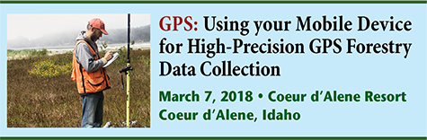
Using your Mobile Device for High-Precision GPS Data Collection
Agenda

Location: Coeur d'Alene Resort, ID
8:30 Introduction and Overview
How did mobile technologies evolve? Looking at the legacy of devices and operating systems (Windows Mobile, Blackberry, iOS and Android).
8:45 BYOD – The Future of Field Data Collection
- What is BYOD (Bring Your Own Device)?
- Why BYOD makes sense.
- When BYOD doesn’t make sense.
9:30 GPS/GNSS receivers: Basic operation and technology trends
- How does GPS work?
- How accurate is GPS?
- Different categories and capabilities of GPS receivers. Recreational vs. Professional
- GPS Advancements: What can you expect in the next couple of years
10:30 Break
10:45 A look at BYOD hardware and software:
- iOS, Android, Windows smartphones, and tablets.
- Software
- What combination works best for you?
Screen readability, GPS accuracy, ruggedness, expandability, and flexibility.
Open source (free) vs. paid. Esri, tMap, Avenza, GIS Cloud, etc.
Cloud vs. on-device software. To download or not to download?
12:00 Lunch
1:00 GPS mapping fundamentals and troubleshooting
- Why doesn’t my data line up?
- Map projections and datums.
- GIS data collection structure. Points, lines and polygons.
- Field data collection forms.
- Linking photos to data.
2:30 Break
2:45 Using background map data. Sources and cost.
- Imagery (aerial/satellite/UAV photos).
- Vector (roads, parcels, contours, etc.).
- Sources of free and paid data.
3:15 Wrap up and Q&A
4:00 Adjourn
About the Conference
The meeting will be held at the Coeur d’Alene Resort in Coeur d’Alene, ID.