
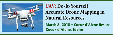
Do-It-Yourself Accurate Drone Mapping in Natural Resources
Agenda

Location: Coeur d’Alene Resort, ID
8:30 Introduction and Overview
How did mobile technologies evolve? Looking at the legacy of devices and operating systems (Windows Mobile, Blackberry, iOS and Android)
8:45 Drone Rules
- How to obtain a drone pilot certificate.
- 20 hours of on-line study. Common test questions. Local test centers.
- Drone flying rules. Where can you fly and not fly?
- Flying by yourself, flying in the woods and around people.
- Hobby vs. business flying.
10:30 Break
11:00 Drone Technology: Capabilities, cost and pros/cons
- Airframes
- Rotorcraft, fixed-wing, hybrid.
- Flight controller (tablet/smartphone vs. proprietary).
- Airframe pros/cons.
- Batteries.
- Operating differences.
12:00 Lunch
1:00 Drone Technology (continued)
- Mission planning software
- Third-party vs. manufacturer-supplied.
- iOS vs. Android vs. Windows.
- Sensors
- RGB cameras (photogrammetry, Phodar point clouds).
- Lidar, thermal, NDVI (Normalized Difference Vegetation Index).
- Image processing software
- Matching images effectively and accurately.
- Using ground control points.
- Cloud processing vs. Stand-alone processing.
- Producing orthophotos, DEM (Digital Elevation Model)/DSM (Digital Surface Model), contours, volumes and 3D models.
- Integrating into GIS (ESRI) systems.
2:30 Break
2:45 The Possibilities. What’s Possible with a $1,500 UAV?
- Orthophoto example.
- Elevation contour example.
- 3D model example.
- DEM/DSM example.
- Volume example.
3:30 Wrap up and Q&A
4:00 Adjourn
About the Conference
The meeting will be held at the Coeur d’Alene Resort in Coeur d’Alene, ID.